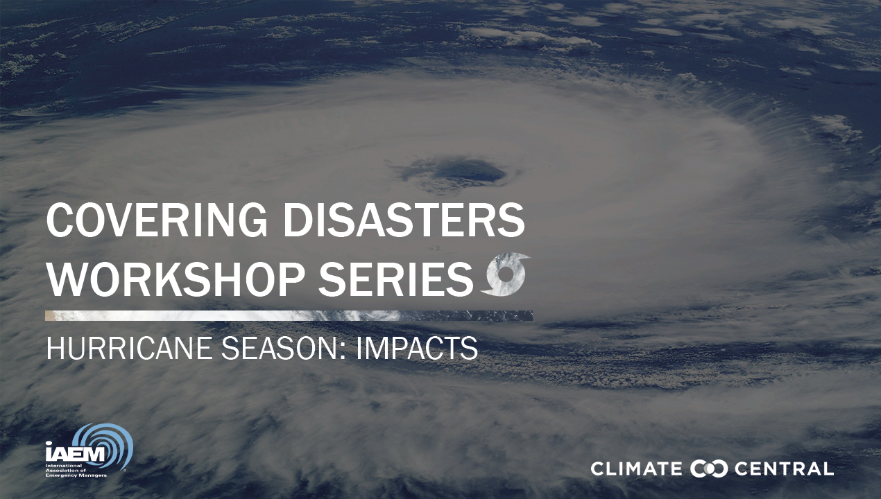
Climate Central and the International Association of Emergency Managers (IAEM) held an online workshop on September 24, 2020, to discuss the record-breaking season, its causes and its consequences with experts including meteorologists and journalists. Main points covered:
With 9 weeks left in the hurricane season, there have already been 23 named storms through September 25 — more than any year except 2005. The historic activity in the Atlantic was predicted before the season began, because of the warm Atlantic waters and less wind shear as a result of the developing La Niña in the Pacific. With less wind shear, storms have been able to better organize and grow into hurricanes.
The National Hurricane Center used the term “unsurvivable” for the surge forecast for Hurricane Laura; meteorologists on the panel agreed that the wording was strong but appropriate, and noted that nobody died from the surge despite it reaching nearly 20 feet in some areas of coastal Louisiana
Hurricanes have become a leading source of power outages, and research shows outages will increase with climate change. Solutions include microgrids and generating solar and wind power closer to where the electricity is consumed
The COVID-19 pandemic has changed emergency preparedness efforts, with social distancing measures being instituted in evacuation shelters and during transportation, adding to costs. The emergency management community has been learning to cope with the pandemic this year.
For many, recovering from hurricanes can take years, particularly for those survivors who have lost their homes and are living in FEMA trailers, living with friends and family, or have become homeless. The pandemic is adding delays to rebuilding efforts and prolonging suffering.
Government spending on mental health services after hurricanes and disasters is limited and many of those suffering from post-traumatic stress and other distress go without care, which can fuel alcoholism, drug abuse, and domestic violence.
Panelists:
Jhordanne Jones, Doctoral Candidate, Department of Atmospheric Science, Colorado State University @JhordanneJ
Rob Perillo, Chief Meteorologist, Lafayette, LA - KATC (ABC) @robperillo
Athena Masson, Meteorologist and hurricane specialist for Florida Storms and the Florida Public Radio Emergency Network (FPREN) at the University of Florida @Wx_Goddess
Richie Quintero, Deputy Fire Chief, Corpus Christi, Texas
Roshanak (Roshi) Nateghi, Assistant Professor of Industrial Engineering, Purdue University & Director of the Laboratory for Advancing Sustainable Critical Infrastructure @rnategh1
Ayurella Horn-Muller, Freelance Journalist at Climate Central, contributor to Forbes 30 Under 30 and ForbesWomen, Former news producer for WPLG Channel 10@ayurellahm
Dean Russell, Reporting Fellow, Columbia Journalism Investigations @deanwrussell
Jennifer Tobin, Ph.D., Deputy Administrator of the Natural Hazards Center, University of Colorado Boulder @jentobinco
Back to Top
Climate Central Resources
Climate Central’s Sea Level Rise program has developed a number of interactive tools. You can change the water level map at Climate Central's Coastal Risk Screening Tool to explore what areas may flood from a certain level of storm surge and use the Risk Finder tool to see what populations, infrastructure, and contamination risks lie below a given water level.
Stronger Hurricanes
2020 Hurricane Season Overview
Tropical Cyclones Records and Rainfall Extremes
Rapidly Intensifying Hurricanes
Other Resources:
NOAA National Hurricane Center (aka NHC)
Storm Surge: Planning for the Risk « Inside the Eye (NOAA NHC)
National Flood Insurance Program Community Rating System (FEMA)
Global Warming and Hurricanes - FAQ’s from NOAA Geophysical Fluid Dynamics Lab
Hurricanes and Typhoons - Fourth National Climate Assessment (Part 1 - Climate Science Special Report)
Quick Facts - Hurricanes and Climate Change (SciLine)
COASTAL FLOODING RECORD SET
Besides an intense and busy hurricane season, a coastal flood record was set for the month of September. Climate Central analyzed tide gauge activity back to the 1950s and found NOAA recorded flood-stage water levels at 84 currently active coastal tide gauges around the U.S. on September 22, the highest number of concurrent coastal floods for a September.
This count tallies the number of tide gauges where water height exceeded the National Weather Service or National Ocean Service threshold for minor flood level at some point during the day. The analysis accounted for the increasing number of tide gauges operating over time. The tally includes high tide flooding, sometimes referred to as "nuisance" or “sunny day” flooding, which is worsening due to climate change and is disruptive to lives and businesses, causing road closures and corroding infrastructure. Look for a full Climate Matters release that chronicles this new analysis in October.
